IN PHOTOS: Tropical storm Enteng bring heavy rainfall, floods in Luzon
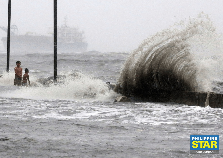
Tropical storm (TS) Enteng (international name: Yagi) has caused severe flooding in parts of Luzon, landslides, and casualties.
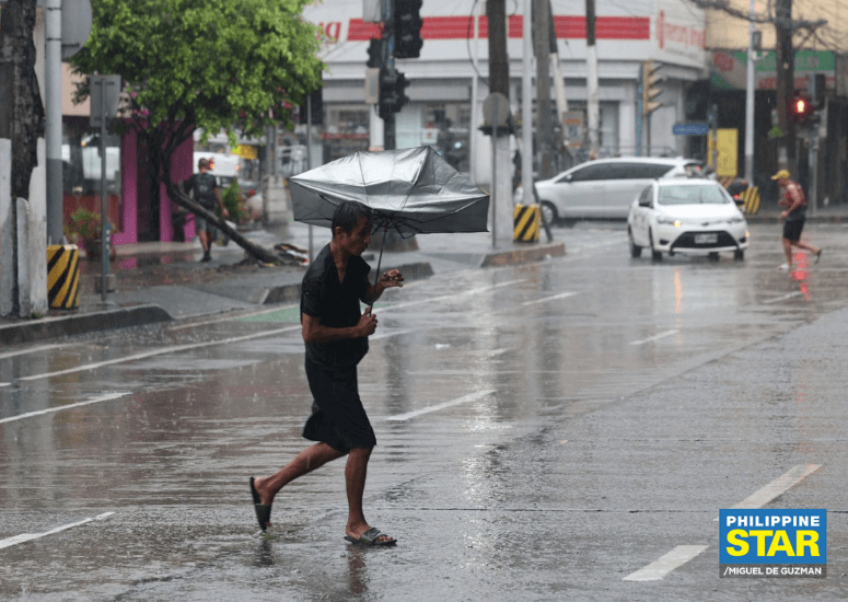
According to PAGASA's Weather Advisory, heavy to intense rains are expected until Thursday, Sept. 5 in parts of Northern Luzon, including Pangasinan, Zambales, Bataan, Occidental Mindoro, and Northern Palawan.
Moderate to heavy rains are also possible in other areas of Northern Luzon, Metro Manila, and Southern Luzon.
Flooding and landslides are likely in areas prone to these hazards.
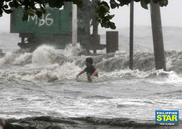
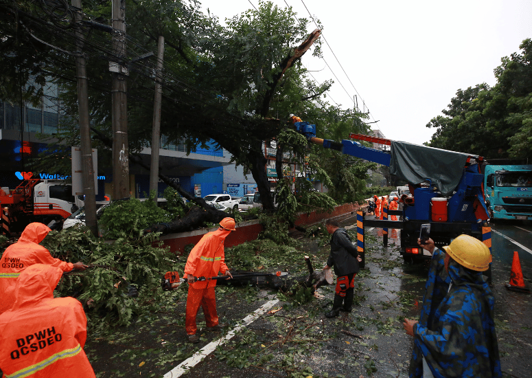
Since entering the Philippine Area of Responsibility (PAR) on Friday, Aug. 30 as an LPA, which eventually developed into a tropical depression on Sunday, Enteng has drenched parts of Luzon with its heavy rains and strong winds.
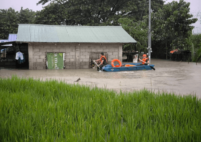
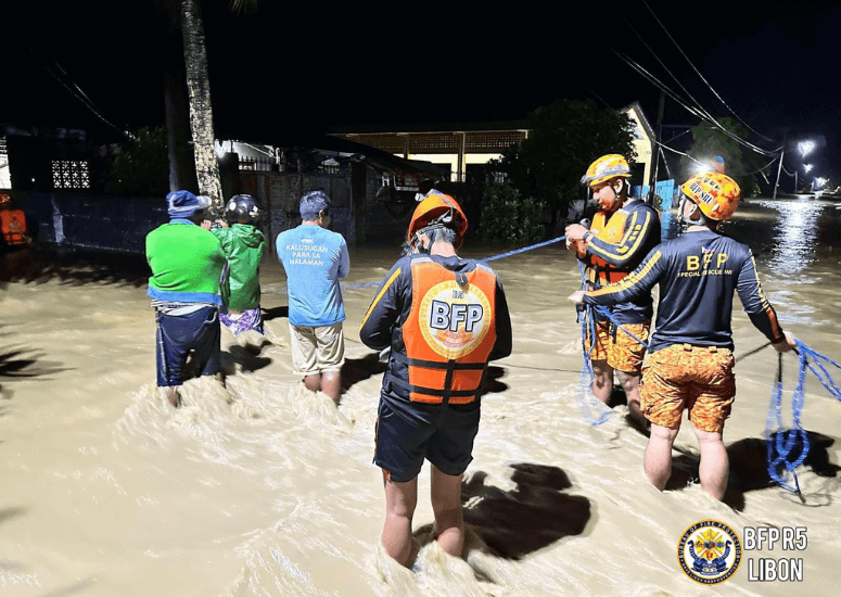
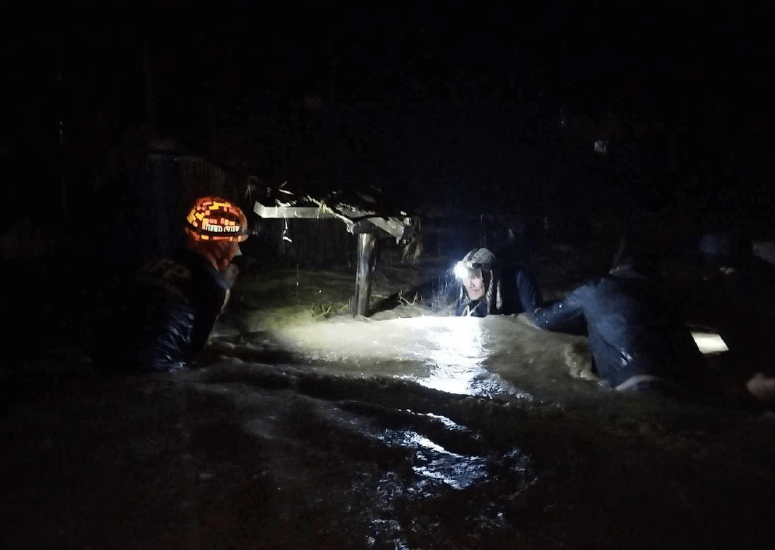
Thousands of residents in Luzon were forced to evacuate to safety.

onslaught of TS Enteng. Philippine Army / Facebook
As per the Philippine News Agency (PNA) report, the National Disaster Risk Reduction and Management Council (NDRRMC) said on Tuesday, Sept. 3 that a total of 37,867 families or 147,024 individuals across Central Luzon, Calabarzon, Bicol, Western Visayas, Central Visayas, and the National Capital Region were affected by the tropical storm.
They also said that the death toll has climbed to 10, with seven of the casualties from Calabarzon, two from Central Visayas, and one from Western Visayas. They noted that these death reports were still undergoing validation.
Meanwhile, a total of 10 individuals from Central Visayas were injured amid the onslaught.
Due to the heavy rains, a landslide was reported in Daang Pari, in Brgy. San Jose, Antipolo City, Rizal, killing at least three people: two minors and a pregnant woman. According to The Philippine Star's report, the victims were rushed to the Rizal Provincial Hospital in Brgy. Dalig, but were declared dead on arrival.
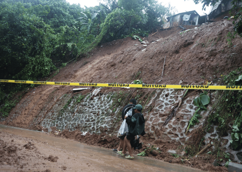
San Jose, Antipolo City, Rizal following a landslide in the area due to torrential rain brought by TS Enteng
and the enhanced southwest monsoon on Monday. Authorities reported that four individuals died,
including a pregnant 27-year-old resident, in the landslide. Miguel De Guzman / The Philippine STAR
Philippine National Police (PNP) Rizal provincial director Col. Felipe Maraggun also reported that three unidentified persons reportedly drowned after strong currents washed them away along a riverside in the city.
Meanwhile, the Bicol police reported that there were three fatalities due to electrocution and drowning but this has yet to be validated by local DRRMO.
Tropical Cyclone Wind Signal (TCWS) No. 2 is raised over the western portion of Ilocos Norte, and the northern portion of Ilocos Sur.
In other news, nine different areas, including the rest of Ilocos Norte and Ilocos Sur and the western section of Cagayan are placed under TCWS No. 1.
Enteng is forecasted to reach a severe tropical storm category in the next 12 hours before exiting the PAR on Wednesday morning.