#TripTips: 5 must-have apps for commuters to navigate Metro Manila
Feeling stressed out from your daily rides? Not sure how much "pamasahe" costs these days? Let these apps help you out.
Being a daily commuter is a daunting task, especially if you’re traversing around the dizzying streets of Metro Manila. Reaching your desired location on an everyday basis may seem like an impossible chore. With the WFH workforce retuning to offices and attending events once again and Face to Face classes resuming, we could all use a little bit of help navigating the city. Though not guaranteed, these apps might help your commuter experience in one way or another.
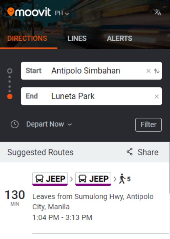
Moovit
If you’re one of the first-time commuters who finds it hard to navigate the streets of Metro Manila without a proper guide, then you’re not alone. But fret not, because Moovit gives its users a step-by-step guide on where to get to their destination. All you need to do is pin your start and end points and the app would set your itinerary. You can choose from the app’s suggested routes depending on how you wish to get there: taking a walk, through a jeep, or getting on the bus. Moovit also has a website where you can search for your destination easily.
Sakay.ph
To lessen the hassle of your commute experience, Sakay.ph serves as a guide for daily commuters around the Metro. With Sakay.ph, your tangled-up commute route would be unraveled in one click. Just enter your location and the app would give you the commute options along with the directions. But more than this, Sakay.ph also gives you an estimation of fare costs for jeepneys and buses among others in line with the current fare matrix.
Hindi na alam kung magkano ang pamasahe ngayon? I-check mo sa Sakay!
— Sakay.ph (@sakayph) February 17, 2022
Sakay doesn’t just show you commuting directions — it also gives you a fare estimate based on the current fare matrix. Ayos, diba?
?? https://t.co/hljhAC5G1M pic.twitter.com/pyWUqHKNDM
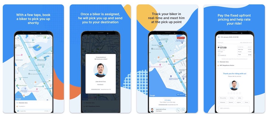
Angkas
If you ever find yourself in a tough situation where no mass transportation is available, then Angkas is your best companion. This ride-hailing service works when you book a biker and pin your pick-up and drop-off information and wait for the biker to arrive. You don’t need to worry over the rainy season because Angkas provides riders a raincoat.
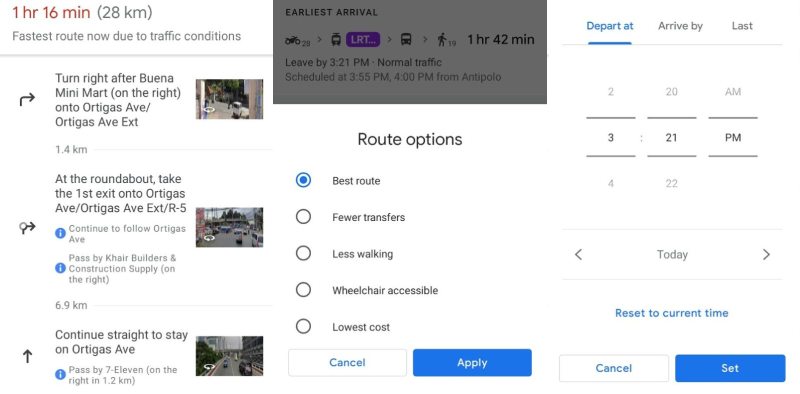
Google Maps
While most people use Google Maps for driving and navigation, it can also help with commuting options since it gives users an estimated time of arrival depending on how they want to travel either by car, bus, bike, or foot. You can set your departure or choose from the app’s route options: the best route, those with fewer transfers, with less walking, and those that are wheelchair accessible. Google Maps also gives a direct step-by-step guide based on how many kilometers you are from the next step for accuracy.
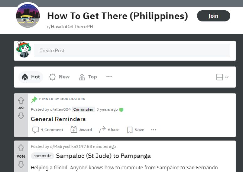
Nothing beats first-hand experience, but if you haven’t fully navigated the roads of Metro Manila then there’s a subreddit that’s perfect for you. In the r/HowToGetTherePH subreddit, you can ask Redditors for the best route for your destination and those who know the routes would likely comment on your post while also giving a guide about current fare costs.